
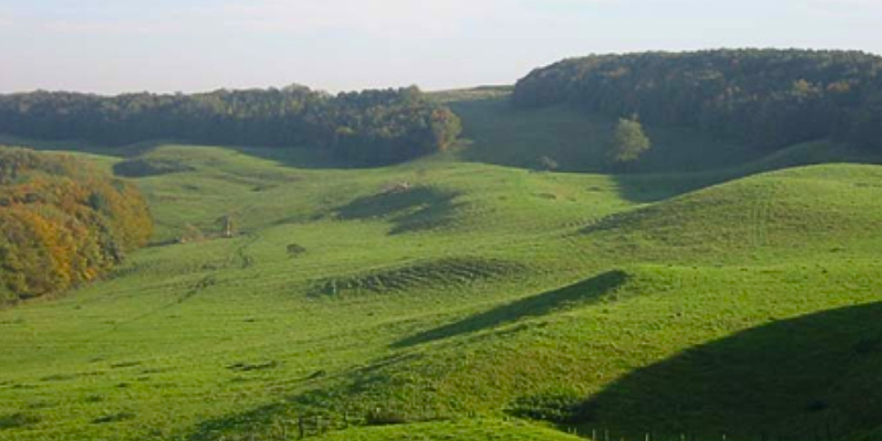
Landslide Research at BGS and in Yorkshire
P/L/002, School of Physics, Engineering and Technology Building, Campus West, University of York (Map)
Event details
York Society of Engineers Lecture
Emily is an Engineering Geologist and Landslide Specialist with the British Geological Survey.
In this talk she will explore why landslides are a growing challenge for infrastructure, communities and the environment, particularly with the effects of climate change.
The presentation provides an overview of landslide research at the British Geological Survey (BGS), focusing on advances in landslide detection, mapping, monitoring and impact assessment. BGS combines data from the National Landslide Database, field investigations, remote sensing and monitoring networks to improve understanding of landslide activity across Great Britain. Modern techniques, including LiDAR mapping and Earth observation, have enhanced the quality and coverage of landslide data, supporting improved hazard assessment and decision-making.
The presentation will highlight how monitoring, earth observation and artificial intelligence are being used to improve landslide forecasting, hazard mapping and infrastructure risk assessment. These developments support more effective risk reduction, resilience planning and wider multi-hazard research.
Examples from Yorkshire and the wider UK will demonstrate the practical application of different methods for improving landslide research and management.
Image credit: BGS © UKRI
Partners

Venue details
Wheelchair accessible
Hearing loop