In Pictures: The changing landscapes of East Africa
Posted on Friday 19 August 2016
A team at the University of York’s Department of Environment have spent decades researching the impacts of climate change, as well as how people interact with the environment, natural resource use, and conservation across the region. Dr Robert Marchant describes here the uses and challenges facing this vast and important land through a series of images he has captured on his field work:
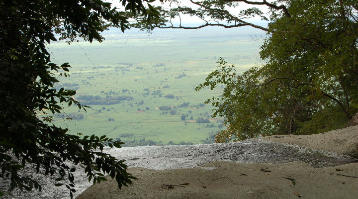 “The Sange waterfall on the Udzungwa Mountains across the Kilombero Valley is vital to support the large amount of downstream agriculture; the flows of this river have become more unpredictable and abstraction of water to support the expanding sugar plantations in the lowlands increased dramatically over the years.”
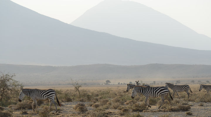
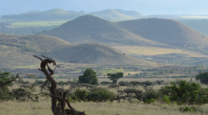 “The Lewa conservancy towards the Laikipa plateau of Central Kenya is an area dominated by extensive wheat farms, high value conservation estates and traditional pastoral communities. Climate change threatens this landscape through a complicated series of interactions between increasingly variable rainfall leading to restricted grazing; the grazing that is available has to meet the demands of wildlife on conservancies and an increasing immobile nomadic pastoral population."
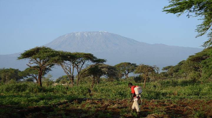 “Here we can see Kilimanjaro from a tomato farm and across Anmboseli National Park. In addition to controlling for virus infestation of his tomatoes, the farmer has challenges of crop raiding by Elephants, and a variable water supply mainly provided from the snows of Kilimanjaro.”
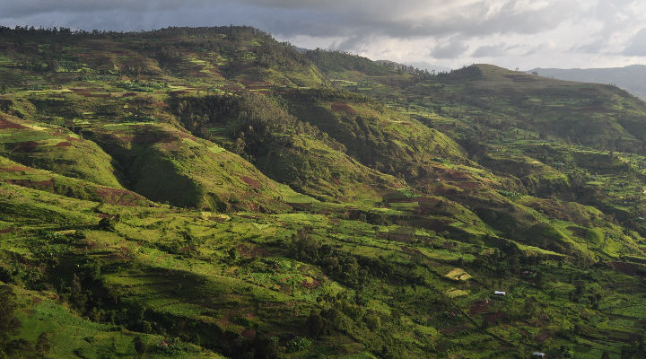 “The Gamo Highlands of Ethiopia is an area that supports the unique Gamo culture, which has been living here for a few thousand years. Its people have developed an intensive agricultural production and cleared most of the forest cover except in the deep valleys and at sacred hilltop locations. This is quite a common sight across many East African mountains where forests have been cleared over the centuries contributing to global greenhouse concentrations. Increasing policies are being put in place, such as the Reduced Emissions from Deforestation and Degradation (REDD+) to try and draw-down Carbon Dioxide from the atmosphere by planting trees, conserving the patches of remaining forest and supporting productive agroforestry systems."
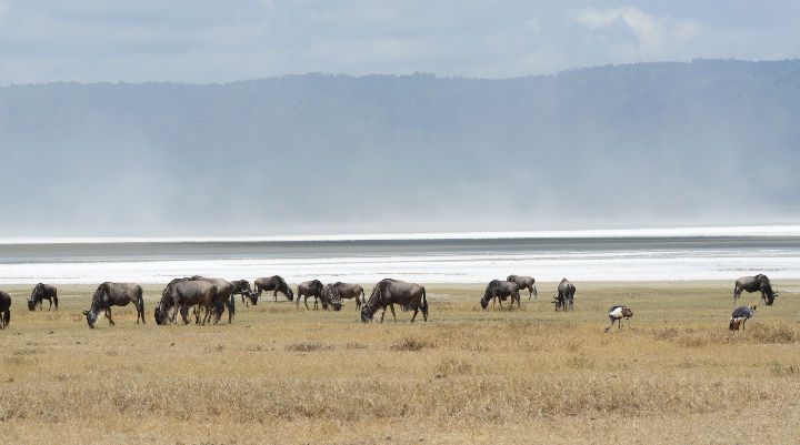 “The Ngorogoro Crater is a World Heritage site and a globally renowned conservation area within the dormant 70km diameter caldera. It is managed by the Maasai pastoral population that inhabit the area, protecting the landscape and manage and benefit from the tourism industry.”
 “The Engaruka archaeological site is next to an active volcano and is today characterised by rough Maasai grazing, but some 500 years ago the area was an intensively settled and managed agricultural landscape where water was channelled through a complex network of drainage channels that extended over thousands of hectares.”
For more information about Dr Marchant's work follow him on Twitter @marchant_robert or visit the Department of Environment webpages.