Mapping Clothing, Sizing Land: The Intertwined History of Fashion and Cartography, 1340–1940
This event has now finished.
Event details
Please join us for the History of Art Research Seminar “Mapping Clothing, Sizing Land: The Intertwined History of Fashion and Cartography, 1340–1940” with Professor Emanuele Lugli (Stanford University) on Wednesday, 12 February, 5-7pm in BS/104 (Berrick Saul Building, Treehouse)
This event will be followed by a drinks reception in the History of Art department foyer.
In early modern Europe, fashion and cartography shared more common ground than is typically acknowledged. Costume books, much like geographical atlases, gained unprecedented popularity and shaped ideas of nations—and of the world. Yet, the connection between these two fields has largely gone unnoticed. Fashion and cartography were not truly separate domains; both emerged from geometria pratica, the practical application of geometry for representing three-dimensional objects on flat surfaces. This shared foundation fostered the development of tailoring and triangulation—the respective operative modes of fashion and cartography. This presentation will delve into the political rationale of their overlapping trajectories, which continued to exert influence well into the twentieth century, as can be seen in Christian Dior’s practice.
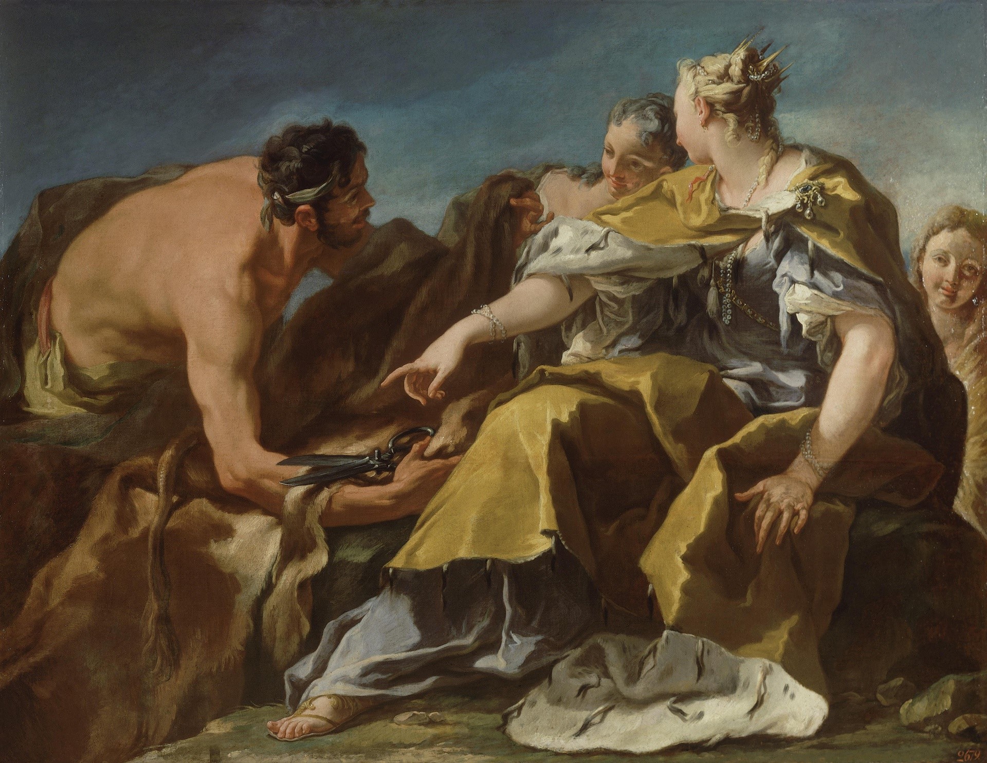
Photo Credit: Giambattista Pittoni, Dido Founding Carthage, 1720. Hermitage Museum.
THIS EVENT IS FULLY BOOKED AND NO LONGER ACCEPTING BOOKINGS