60 years of Antarctic ice sheet data released
Posted on Tuesday 15 August 2023
Bedmap3 has been compiled over the last 60 years through ground-based and airborne surveys by more than 50 scientific institutions.
University of York scientist, Dr David Rippin contributed to the project, which brings together significantly more data and coverage than previous versions released a decade ago.
Vital dataset
The research includes 52 million new data points and 1.9 million kilometres of measurements have been added, more than doubling the amount of data available in the previous version of the BEDMAP product.
It also includes 84 new surveys that filled in major gaps, particularly in East Antarctica and including the South Pole, and now covers glacier troughs and floating ice shelves, giving new insights into previously unsampled areas.
Huge impact
Dr Rippin, a Senior Lecturer in Physical Geography, said: “This dataset could have a hugely significant impact for the way we think about Antarctic ice and its extraordinary topography.
“The way this information is now centralised and standardised and freely accessible to all means there are so many ways it can be used to understand the future of this fascinating and important region.
“There are many contributors to the dataset, so my role was pretty small, but I’m really proud to have played a part in a project that is so vital and timely. I’m sure it will be used for many years to come, furthering insights into the current, present and future state of the Antarctic Ice Sheet.”
Accurate models
The underlying data from the project has been made freely and easily accessible for all researchers and now paves the way for developing more accurate models of future ice loss and sea level rise.
Alice Frémand, Scientific Data Manager at British Antarctic Survey (BAS), and lead author of the paper, explained: “Up until now, it has been a slow, difficult process for researchers to use this data and means there is often a big time lag between data being collected and being used. Given how quickly parts of the Antarctic peninsula are changing, this is time we don’t have.
“The significance of this achievement cannot be overstated. For the first time, researchers around the world will have easy, open access to a wealth of comprehensive and reliable information on Antarctic ice thickness and bed topography.”
Collaboration
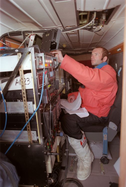
Bedmap data has primarily been collected through more than 270 ground-based and airborne radio-echo sounding and seismic surveys.
Peter Fretwell, Geographic Information Officer and co-author at BAS, explained: “This is a real community effort, with more than 80 international partners contributing. The success of this project highlights the importance of international collaboration and data sharing in advancing scientific research.”
This project represents a major step forward in future research and predictions regarding Antarctica’s contribution to sea level rise. This in turn will help policy makers develop climate change strategies and mitigate against rising oceans.
Read the full paper: https://essd.