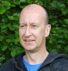
Steve Cinderby
Steve has worked at the SEI centre in the University of York since 1991 and became Deputy Director in 1999. He specialises in the use of geographic information systems (GIS) and spatial modelling within the Institute's various projects.
“My research interest has focussed on using maps as communication tools at different governance scales through the development of methods and applications of Participatory Geographic Information Systems (PGIS). My PGIS approaches have been used to develop and plan activities in developing countries assessing issues such as agriculture water management and have been used in the UK to investigate a range of environmental concerns including air quality, rural inequalities and urban redevelopment."
"My recent research has included developing PGIS methods to encourage community engagement on environmental issues including environmental and social histories through the Open Air Laboratories Project (OPAL) funded by the Big Lottery. These engagement activities have been undertaken with a mixture of so called hard-to-reach groups and school children including those in deprived UK communities.”
"You can find a set of video tutorials on these methods online."
