Humanities Research Centre
Joanne Harrison, Archaeology
Rediscovering the lost streets of Victorian Burmantofts and Sheepscar, Leeds
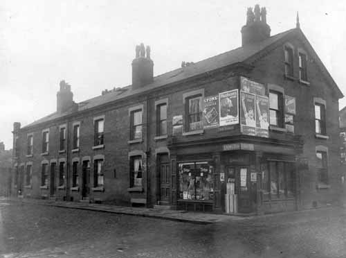
Joanne is collaborating with Leeds Local and Family History Library and Leeds Museums and Galleries, and has designed, prepared and run five public workshops that use the library’s local history collection to rediscover the streets of the Burmantofts and Sheepscar neighbourhoods that were demolished as part of slum clearance programmes in the 1950-60s.
The project uses an historical archaeology methodology, incorporating a variety of documentary sources such as census records, electoral registers, directories and maps, plus the oral history evidence of participating Leeds residents, interpreting the data in terms of urban design, architecture and social history.
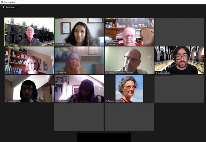
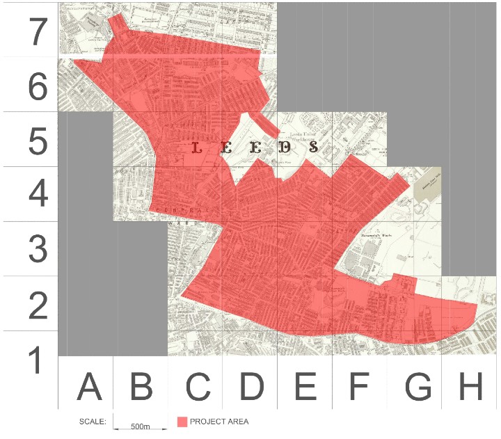
Presentations on the key archival sources and research skills were given by Joanne, Antony Ramm and Josh Flint of Leeds Libraries, Patrick Bourne of Abbey House Museum, and Sally Hughes of Leeds City Council, and the fourteen workshop participants were supported to carry out a series of research tasks for the project. The neighbourhoods were divided geographically, with each participant taking responsibility for an area for the duration of the project – their initial outputs have been an index of street names and their corresponding grid reference on the map, a list of all photographs held in the archive that are within the project boundary, and the creation of maps showing the location of photograph subjects in their historical context. Participants are currently working on social history case studies which will also be added to the website.
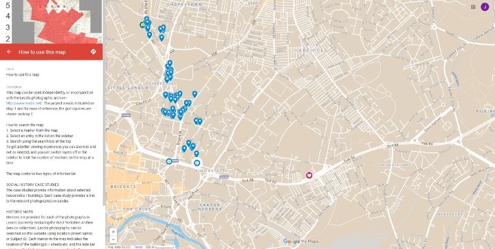
Joanne has managed the project, collating the data and maps produced by the participants, and is in the process of assembling this on digital maps, ready for import to her newly created website where it will be possible to either search by street name or the Leodis reference, or simply browse, to see the location of the photographs in both their historical and current context, as well as the case study locations.
The participants have worked diligently for long hours to produce a huge amount of information for the project, and many have commented on how much they have enjoyed carrying out the research. The project has however had its challenges, mainly relating to its size as it became apparent that the number of relevant photographs in the archive was around four times that originally estimated. It was not possible to expand the entire project, so it was adjusted – the West Yorkshire Archive Service photographs have accompanying maps in the physical archive, so for now these will not feature on the website. Should further funding become available, it will be straightforward to add them as some of the initial preparation has already been done.
The project was originally scheduled to finish at the end of April, but with the increased scope, it will now run into May. A small number of historical maps still need to be completed and this must be done before the current map for the website can be completed. Also outstanding are the case studies, which then need to be both uploaded to the website, and incorporated into exhibition panels to complement the permanent displays / exhibitions at Abbey House Museum. The website launch and exhibition opening will be publicised using the library’s weekly blog.